West Montgomery Mitigation Bank

West Fork San Jacinto Watershed
West Fork San Jacinto Watershed
Montgomery County
Forested Wetland Credits
Forested Wetland Credits
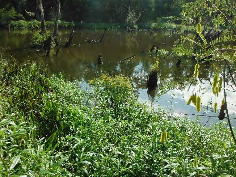
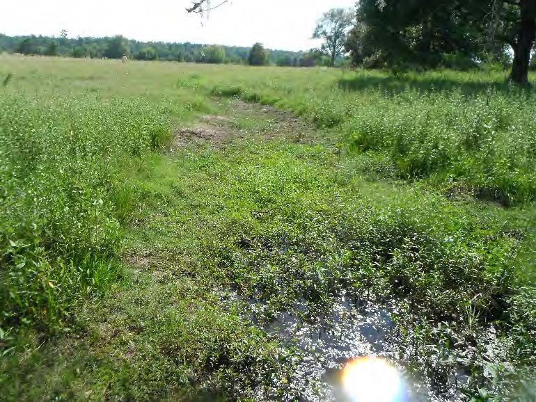
West Montgomery Mitigation Bank is 966 acres located in Montgomery County, within Lake Creek’s watershed (HUC 1204010103), inside the West Fork San Jacinto Watershed (HUC 12040101). Historically, the site was utilized for timber harvesting and agricultural production, which led to an alteration of hydrology, followed by a decrease in wetland functionality. West Montgomery Mitigation Bank was approved by the United States Army Corps of Engineers, Galveston District, in March 2024. The mitigation plan includes preservation, enhancement, and restoration of wetlands and adjacent upland buffer areas to improve and protect valuable chemical, physical, and biological functions within the watershed.
West Montgomery Mitigation Bank is approved to provide mitigation credits for impacts to riverine forested wetland habitats. The primary service area is the West Fork San Jacinto (HUC 12040101), which includes portions of Harris, Montgomery, and Walker Counties. Impacts occurring within the primary service area shall be debited on a 1:1 basis.
The secondary service area for WMMB is the Spring watershed (HUC 12040102), above U.S. Highway 290 and the East Fork San Jacinto watershed (HUC 12040103). Excluded from this secondary service area are those lands that lie south and west of U.S. Highway 290 in the Spring watershed (HUC 12040102). The secondary service area includes portions of Harris, Montgomery, Liberty, San Jacinto, Walker, and Waller Counties. Impacts occurring within the secondary service area shall be debited on a 1.5:1 basis.
Determine if your project is located in the bank's service area. DOWNLOAD MAP PDF