New River Highlands Mitigation Bank
Upper New RiverMiddle New River
Upper New River
Middle New River
Grayson County
Wetland CreditsStream CreditsPhosphorous Credits
Wetland Credits
Stream Credits
Phosphorous Credits
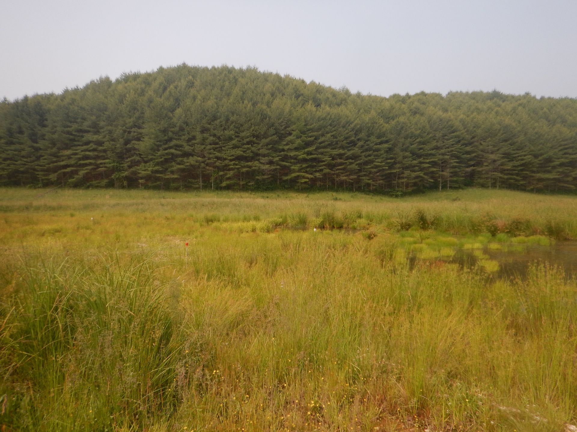
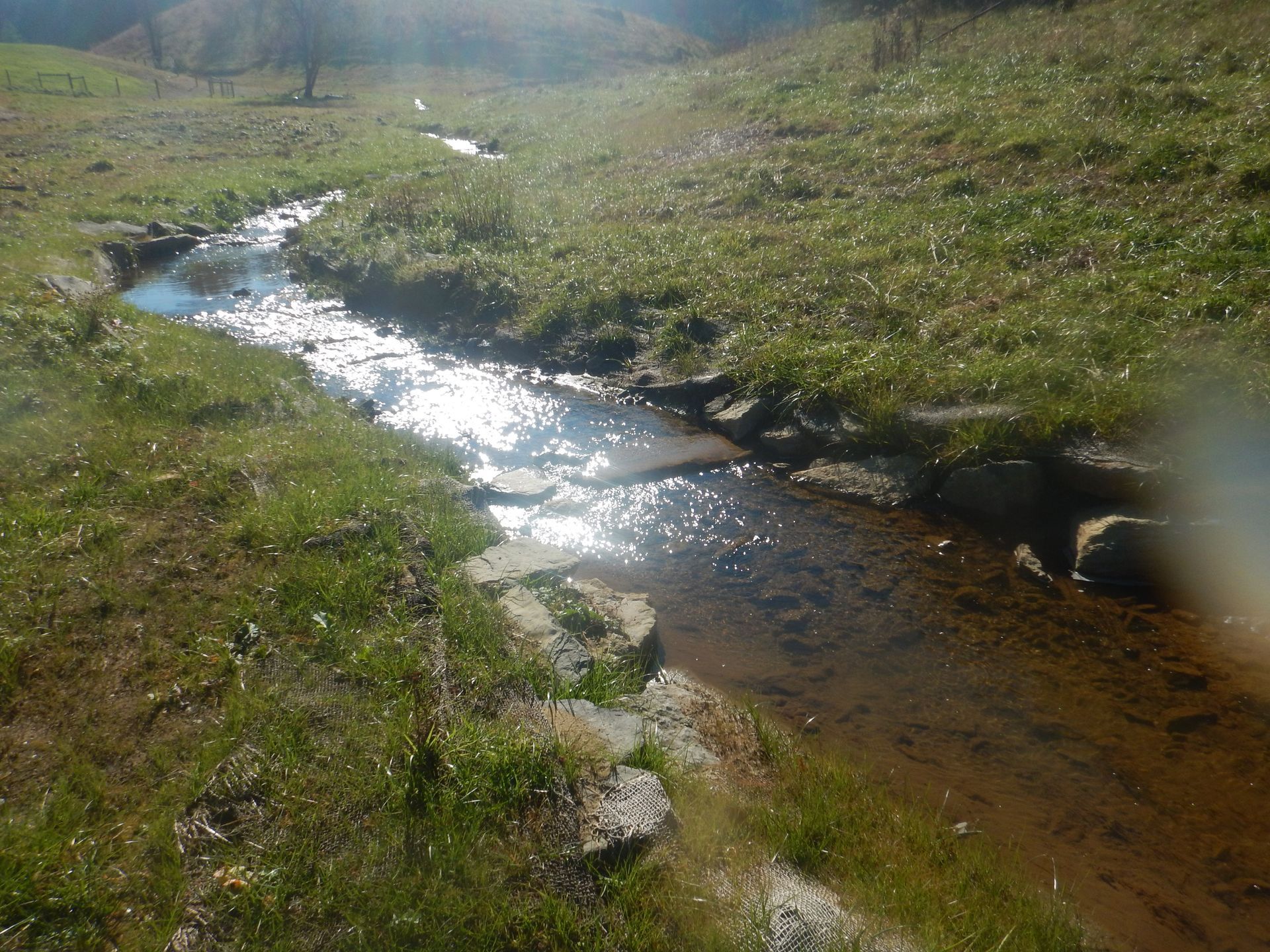
New River Highlands Mitigation Bank is a 51.1-acre site located along Moore Creek in the Upper New River Watershed in Grayson County, Virginia. Historically, the site was utilized for livestock grazing and contained an agricultural pond. New River Highlands Mitigation Bank was approved by the U.S. Army Corps of Engineers Norfolk District in July of 2020 for a potential of 2.333 wetland credits and 10,900 stream credits.
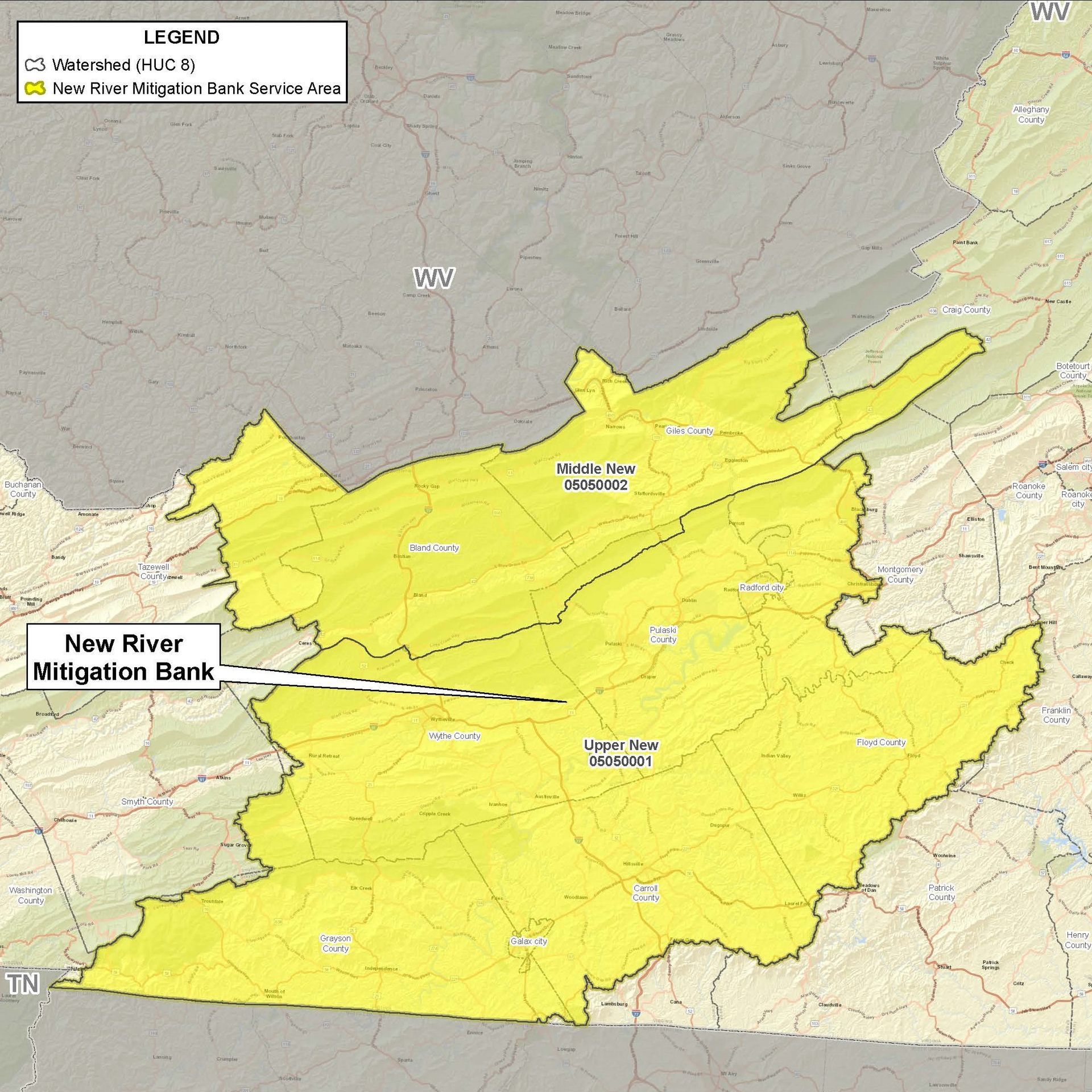
New River Highlands Mitigation Bank is approved to offset wetland and stream impacts within the Upper New River (HUC 05050001) and Middle New River (HUC 05050002) watersheds. The service area includes Grayson, Carroll, Wythe, Pulaski, Giles and Bland Counties and partially within Smyth, Montgomery, Craig, Floyd and Tazewell Counties
Determine if your project is located in the bank's service area. DOWNLOAD MAP PDF


