Nochaway Mitigation Bank

SJRWMD Basin 4 & 8
SJRWMD Basin 4 & 8
Clay
State and Federal Forested Credits
State and Federal Forested Credits
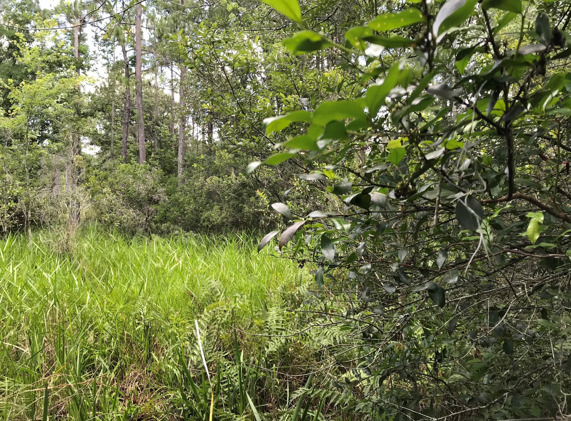
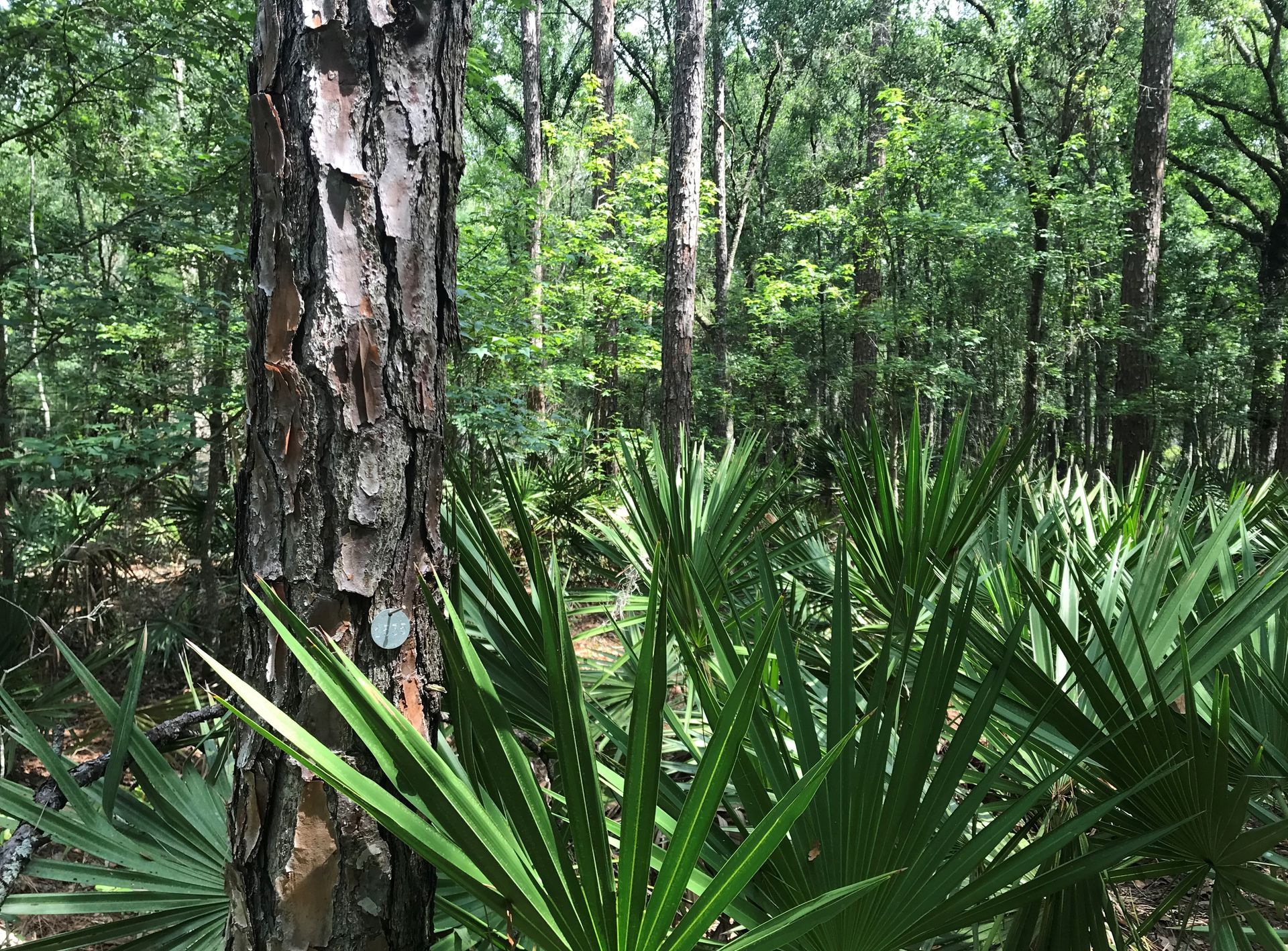
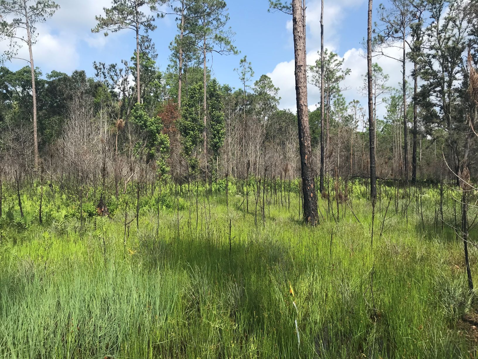
Nochaway Mitigation Bank is a 4,075-acre site located in south central Clay County.
The north bank half comprises the headwaters of Greens Creek whereas the south half comprises the headwaters of Rice Creek. Nochaway MB abuts two large conservation areas: the 12,000-acre Belmore State Forest defines the entire west NMB boundary, and the 2500-acre Highbrighton Conservation Easement defines most of the east and north NMB boundaries.
Nochaway MB has been approved by the St. Johns River Water Management District and the United States Army Corps of Engineers to offset freshwater forested impacts within the Basins 4 (Northern St. Johns River) and SJRWMD Basin 8 (St. Johns River: Welaka to Bayard) to include portions of Clay, Putnam Counties.
Contact us for more information.
Determine if your project is located in the bank's service area. DOWNLOAD MAP PDF