Raccoon Creek Wetland and Stream Mitigation Bank

Embarras; Little Wabash; Lower Wabash; Skillet; Saline
Embarras; Little Wabash; Lower Wabash; Skillet; Saline
Wayne County
Forested; Stream
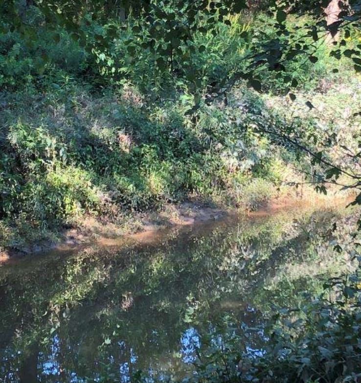
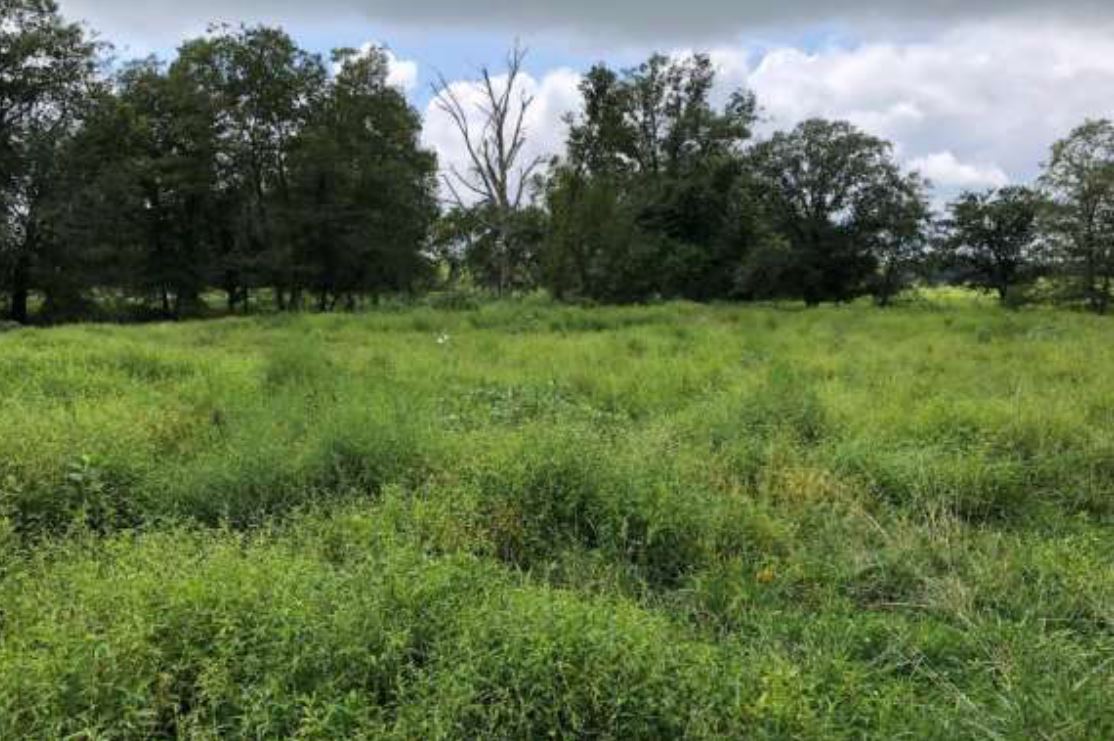
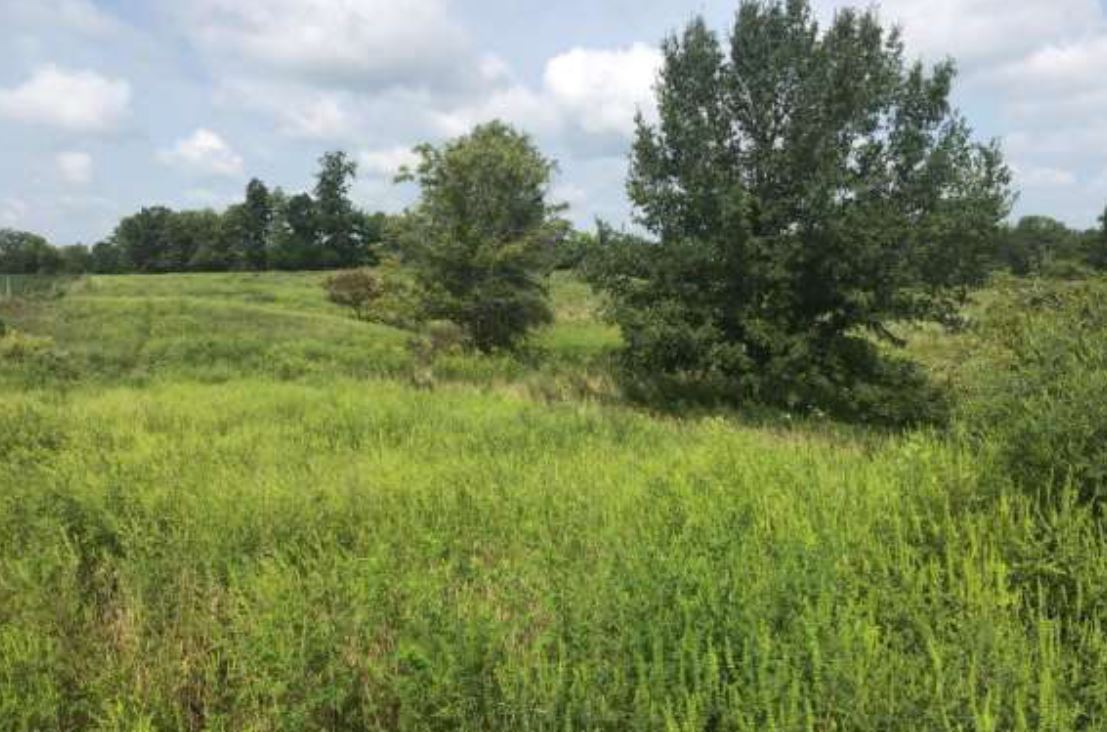
Raccoon Creek Wetland and Stream Mitigation Bank is a 116-acre site situated on a parcel of land that consists of prior converted cropland, pastureland, stream channel and degraded wooded riparian corridor adjacent to Raccoon Creek and Camel Creek in Wayne County, Illinois within the Little Wabash Watershed (HUC 05120114). The wetland and stream mitigation plan includes the restoration of streambank riparian forest buffer, in-stream aquatic structures, emergent and forested wetlands. Raccoon Creek Wetland and Stream Mitigation Bank will become the first approved mitigation bank in Illinois by the U.S. Army Corps of Engineers Louisville District for a potential of 82.88 forested wetland credits and 6,027.76 stream credits. The mitigation plan includes the creation and restoration of forested, scrub-shrub and emergent wetland habitats.
Raccoon Creek Wetland and Stream Mitigation Bank is approved to offset wetland impacts within the Embarras (HUC 05120112), Lower Wabash (HUC 05120113), Little Wabash (HUC 05120114), Skillet (HUC 05120115), and Saline (HUC 05140204) watersheds. This includes all or portions of Champaign, Coles, Clark, Clay, Crawford, Cumberland, Douglas, Edgar, Edwards, Fayette, Gallatin, Hamilton, Hardin, Jasper, Jefferson, Johnson, Lawrence, Pope, Richland, Saline, Shelby, Wayne, White, and Williamson Counties.
Determine if your project is located in the bank's service area. DOWNLOAD MAP PDF